From Exploration
To Extraction
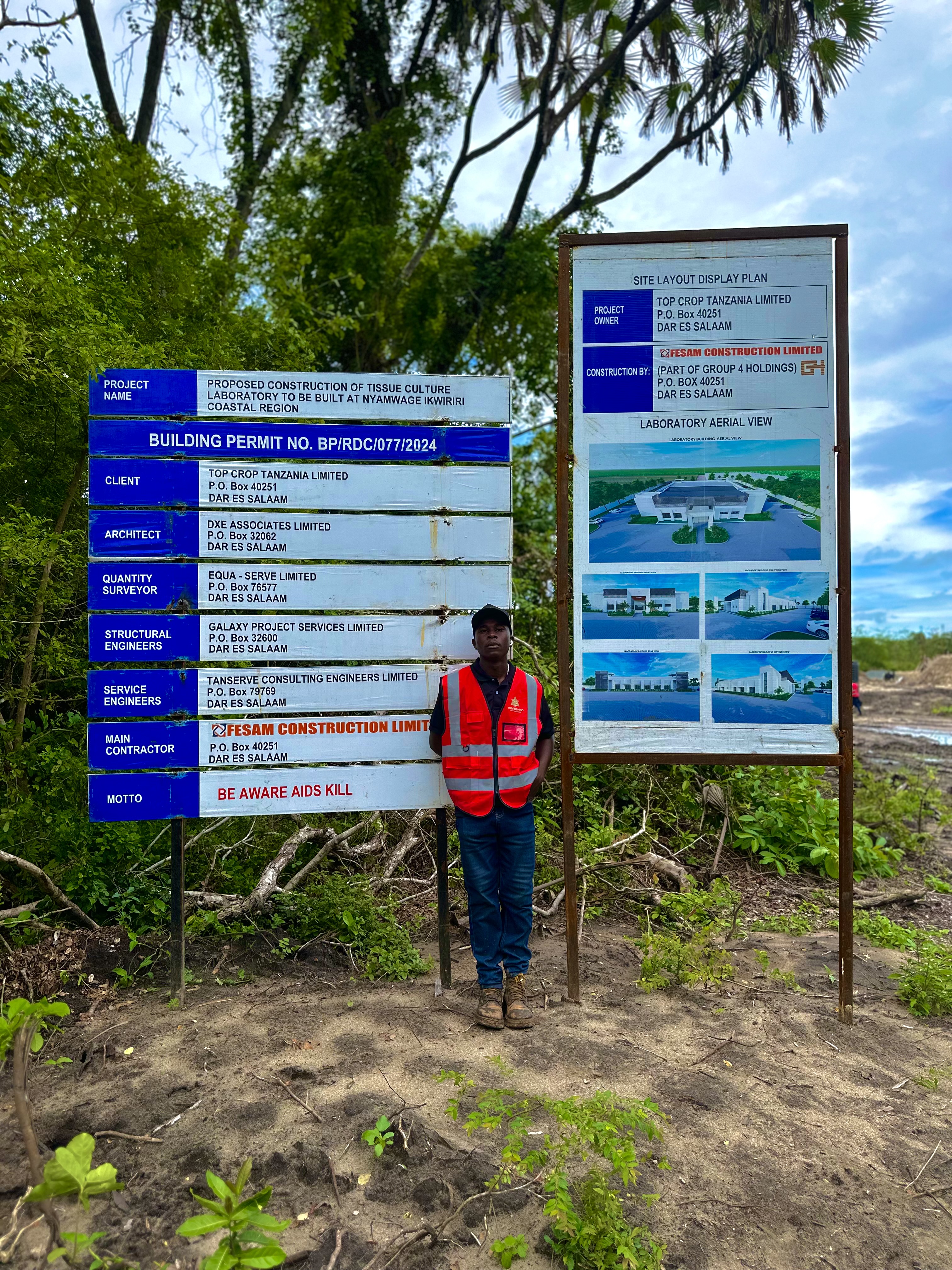
Mining operations require precision, speed, and safety. At Merkavion Technologies, we deliver cutting-edge drone solutions that transform how mining companies explore, plan, monitor, and manage sites.
Whether you're managing a quarry, open-pit mine, or large-scale mineral operation, our drones are built to navigate tough terrain, collect actionable data, and keep your team informed from the sky down.
Our Mining Drone Services
Advanced aerial solutions designed specifically for the challenges and opportunities in mining operations
Stockpile Measurement & Volumetric Analysis
We use drones to collect high-resolution imagery and generate 3D models of stockpiles, pits, and excavated zones for accurate volume calculation, material flow assessment, financial reconciliation, and compliance reporting.
Mineral Exploration Support
We support early-stage mineral exploration with drone-enabled surveys that rapidly cover large, remote areas to identify geological features such as fault lines, alteration zones, and rock exposures.
Topographic Mapping for Mine Design
Using LiDAR and photogrammetry, we generate precise elevation models and terrain data critical for planning safe and efficient mining operations, including DEMs, contour lines, and drainage mapping.
Pit and Bench Mapping
Using aerial data, we provide detailed mapping of active pits and mining benches to track excavation geometry, monitor bench angles, assess slope stability, and improve drill and blast planning.
Haul Road Condition Monitoring
We inspect haul roads to assess surface degradation, potholes, and alignment issues to ensure safer transport, reduced equipment damage, and optimized fuel consumption and logistics flow.
Environmental Monitoring
We capture aerial images and data to support vegetation change detection, erosion tracking, water runoff assessment, and monitoring buffer zones to maintain environmental compliance.
Site Change Detection
By comparing drone-captured data over time, we track changes in terrain, excavation progress, and construction developments. This is vital for:
- Tracking daily or weekly site development
- Identifying unauthorized changes or encroachments
- Validating contractor work and material movement
Benefits of Drone Use in Mining
Our drone solutions deliver transformative advantages that enhance safety, efficiency, and profitability across mining operations
Fast & Accurate Measurements
Get real-world data in real time with precision that far exceeds traditional surveying methods.
Cost Efficiency
Cut surveying costs, reduce downtime, and lower labor expenses across your mining operations.
Improved Safety
No need to place personnel near unstable or hazardous zones, eliminating significant safety risks.
Advanced Visualizations
Use 3D models, heat maps, and cross-sections for more effective planning and decision-making.
Compliance & Documentation
Create verifiable records for audits, licenses, and reporting to meet regulatory requirements.
Scalability
Solutions ideal for quarries, mid-size mines, and large-scale operations of any complexity.
Transform Your Mining Operations Today
With Merkavion's drone solutions, you can revolutionize how you manage mining operations, ensuring better data, safer conditions, and more profitable outcomes.
Who We Serve
Our drone solutions are tailored to the specific needs of various stakeholders in the mining industry
Mining Companies & Quarry Operators
End-to-end solutions for operational management and optimization
Geological Exploration Firms
Advanced mapping and surveying for early-stage exploration
EPCM and Civil Contractors
Site monitoring and progress tracking for construction phases
Environmental & Regulatory Consultants
Compliance monitoring and environmental impact assessment
Government Licensing Agencies
Verification and documentation for regulatory approvals
Investors & Project Managers
Progress reporting and asset valuation for mining projects
Merkavion's drone solutions have completely transformed how we monitor our mining operations. The accuracy of their stockpile volume measurements and the speed of data delivery have improved our inventory management significantly.
Samuel Mkwawa
Operations Director, Tanzania Mining Corp
Redefine Your Mine with Merkavion Aerial Intelligence
From initial mapping to final extraction — we help you make smarter mining decisions from above.