Environmental & HumanitarianDrone Solutions
Monitoring Ecosystems. Supporting Missions. Saving Lives.
At Merkavion Technologies, we use advanced drone technology to protect natural ecosystems, enhance disaster response, and support humanitarian missions across East Africa. Our aerial solutions deliver real-time data, environmental insights, and remote surveillance capabilities that empower governments, NGOs, and environmental agencies to make informed decisions quickly and safely.
Whether it's tracking wildlife, mapping forests, or supporting emergency relief efforts, our drone services are built to perform in challenging terrains and critical conditions where accuracy, safety, and speed are essential.
Our Environmental & Humanitarian Drone Services
Advanced aerial solutions designed specifically for environmental conservation and humanitarian relief operations
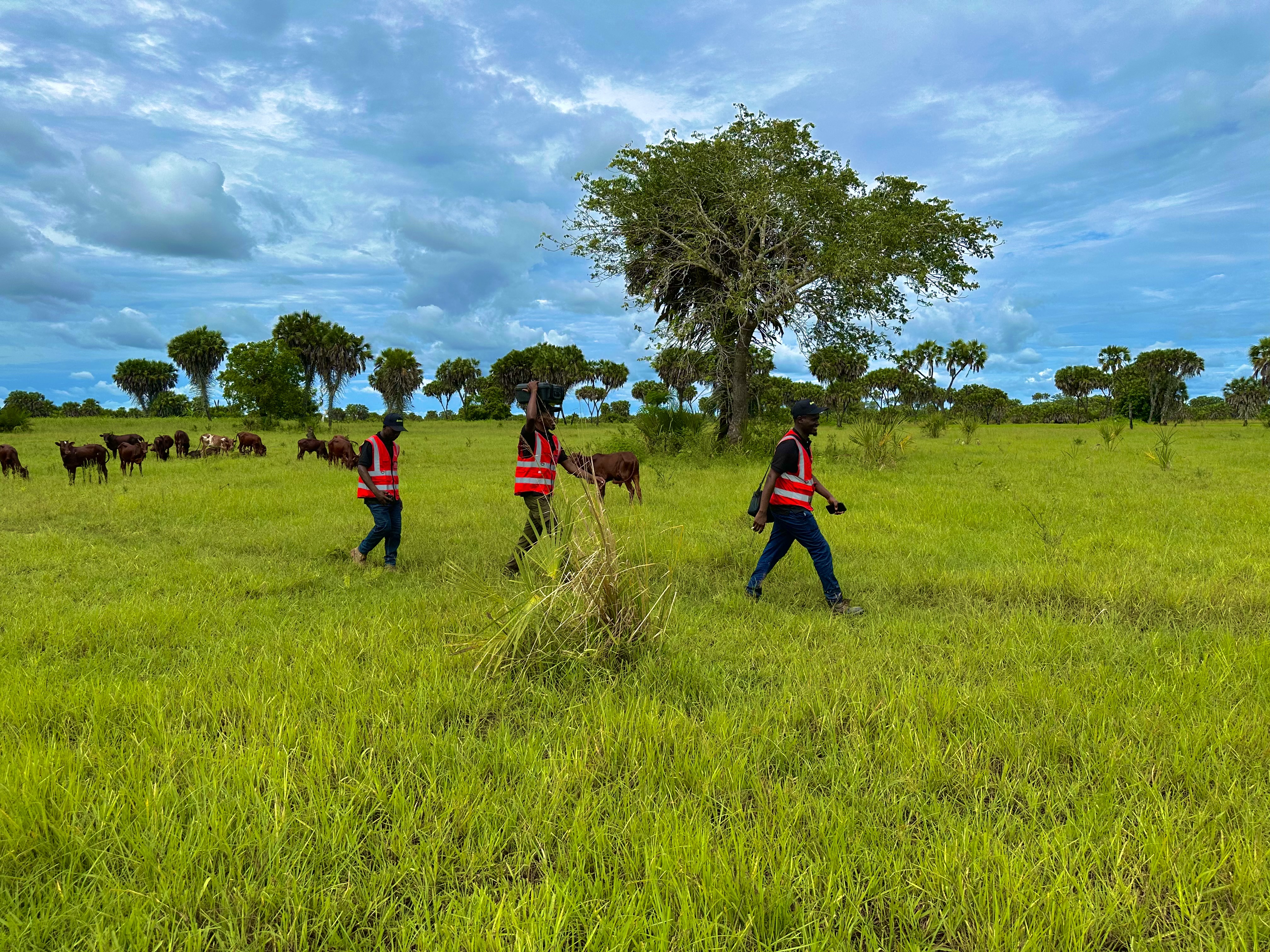
Wildlife Tracking and Monitoring
We use both RGB and thermal cameras to detect and track wildlife movement in real time. This service supports anti-poaching surveillance, animal population studies, migration route mapping, and monitoring endangered species in protected zones.
Forest Fire Detection and Monitoring
Drones equipped with thermal sensors help us detect heat signatures and observe early-stage forest fires before they spread. We support real-time monitoring during fire outbreaks, identification of fire hotspots, and coordination of emergency response teams.
Ranger Safety and Patrol Support
We provide aerial reconnaissance in high-risk or remote areas, helping park rangers and conservation teams monitor vast conservation areas efficiently, detect intrusions or illegal activities, plan safer ground patrol routes, and respond to emergencies.
Biomass Calculation and Forest Assessment
Using LiDAR technology, we map and analyze forest canopies to calculate biomass, helping forestry agencies measure carbon stock for climate reporting, monitor deforestation and reforestation rates, and support carbon credit initiatives.
Flood and Disaster Mapping
We provide rapid-response aerial assessments in the aftermath of floods, landslides, or earthquakes. Our services include real-time mapping of affected areas, identification of safe access routes, damage quantification, and supporting search and rescue.
Agricultural Relief Monitoring
During droughts or crop failure events, we deploy drones to assess damage across large farming zones. This data supports humanitarian food security programs, emergency input distribution planning, and NGO-led recovery initiatives.
Thermal Imaging for Wildlife Conservation
Our specialized thermal cameras allow rangers and conservationists to detect poaching activities at night, track wildlife movements without disturbance, and conduct accurate animal population counts in dense vegetation—applications that traditional methods cannot accomplish.
- 24/7 anti-poaching surveillance capability
- Non-invasive wildlife monitoring without disturbance
- Accurate detection in low visibility conditions
- Real-time data transmission to ranger stations
Why Drones Matter in Environmental & Humanitarian Work
Advanced drone solutions provide unique advantages that enhance environmental monitoring and humanitarian response
Fast Deployment
Get eyes in the sky within minutes during critical moments for rapid assessment and response.
Non-Invasive
Observe wildlife and sensitive ecosystems without disturbing them or causing stress to animals.
Remote Access
Reach terrain that is inaccessible or dangerous for ground teams, improving safety and coverage.
Cost-Efficient
Cover large areas with minimal manpower and resources, maximizing budget utilization.
Multi-Sensor Capability
Use RGB, thermal, and LiDAR for layered environmental insights and comprehensive data collection.
Scalable
Solutions suitable for both localized missions and national-scale conservation programs.
Make a Difference with Aerial Technology
With Merkavion's drone solutions, you can revolutionize your environmental monitoring and humanitarian response capabilities, ensuring better data, safer conditions, and more effective outcomes.
Make an Impact from Above
Join us in leveraging aerial technology to protect our environment and support humanitarian causes across East Africa.
Conservation Support
Partner with us to protect endangered species and monitor critical ecosystems
Disaster Response
Rapid deployment for emergency assessment and coordination support
Environmental Monitoring
Track climate change impacts and environmental health indicators
Thermal imaging technology in action