Plan Faster. Build Smarter.
Monitor with Confidence.
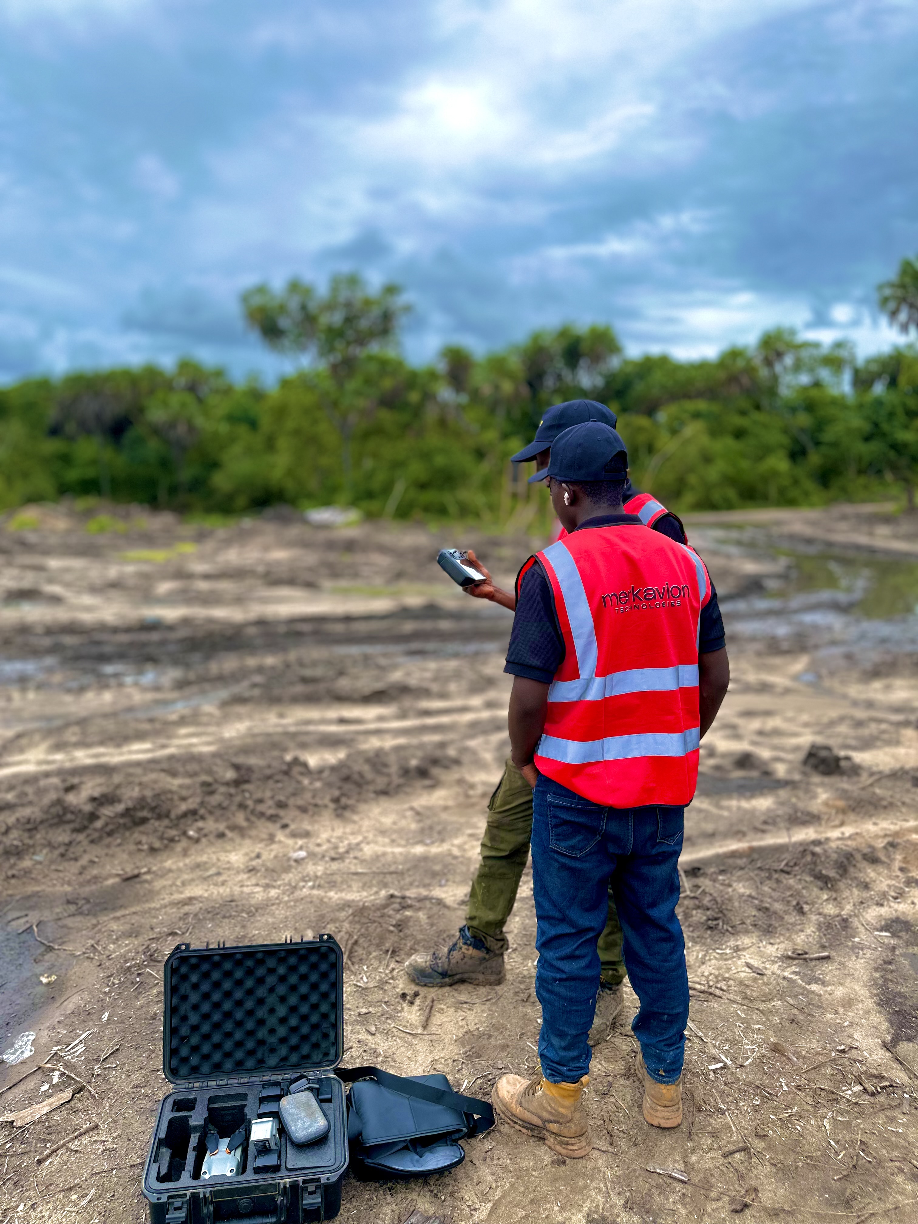
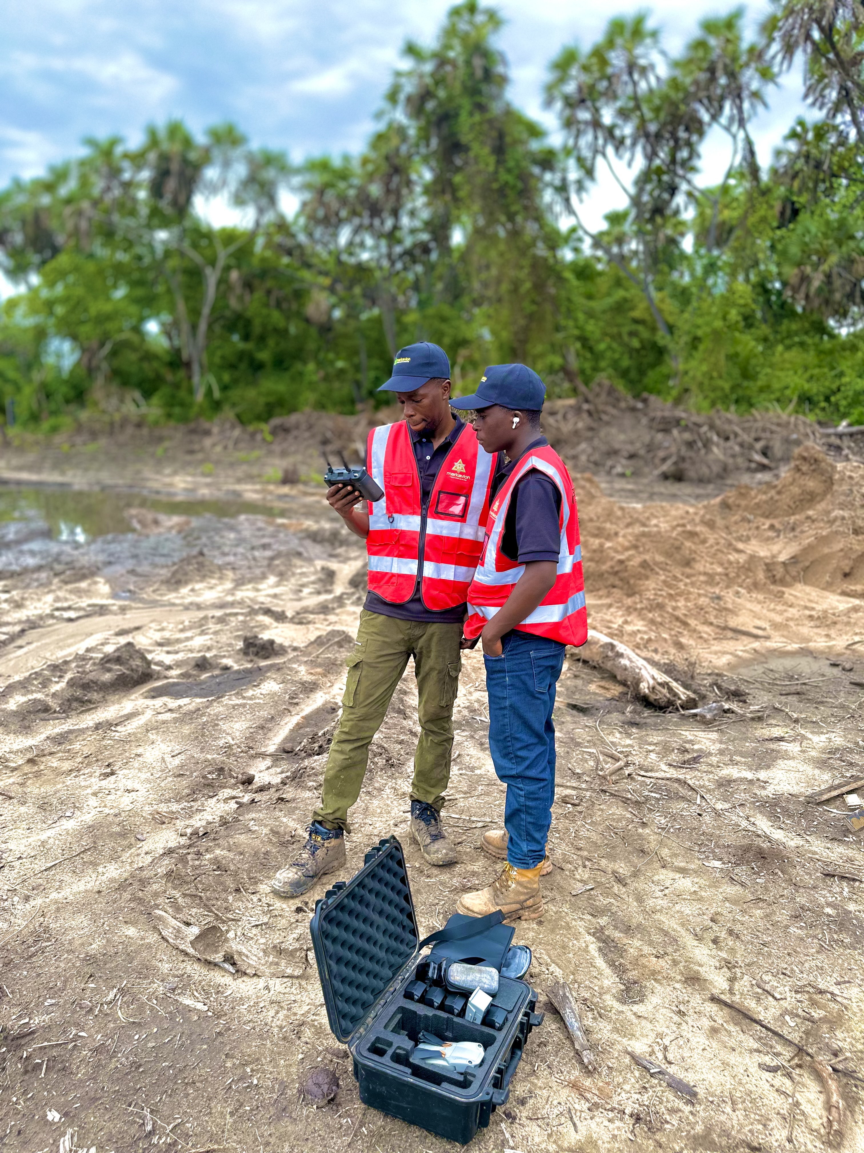
At Merkavion Technologies, we provide construction professionals with powerful drone services that enhance project planning, execution, and oversight. Our aerial technology gives you the data and visibility you need to build with precision and stay ahead of schedule.
Data-Driven Construction Solutions
We bridge the gap between the design table and the construction site — delivering real-time data, high-resolution visuals, and powerful 3D models that support every phase of your project.
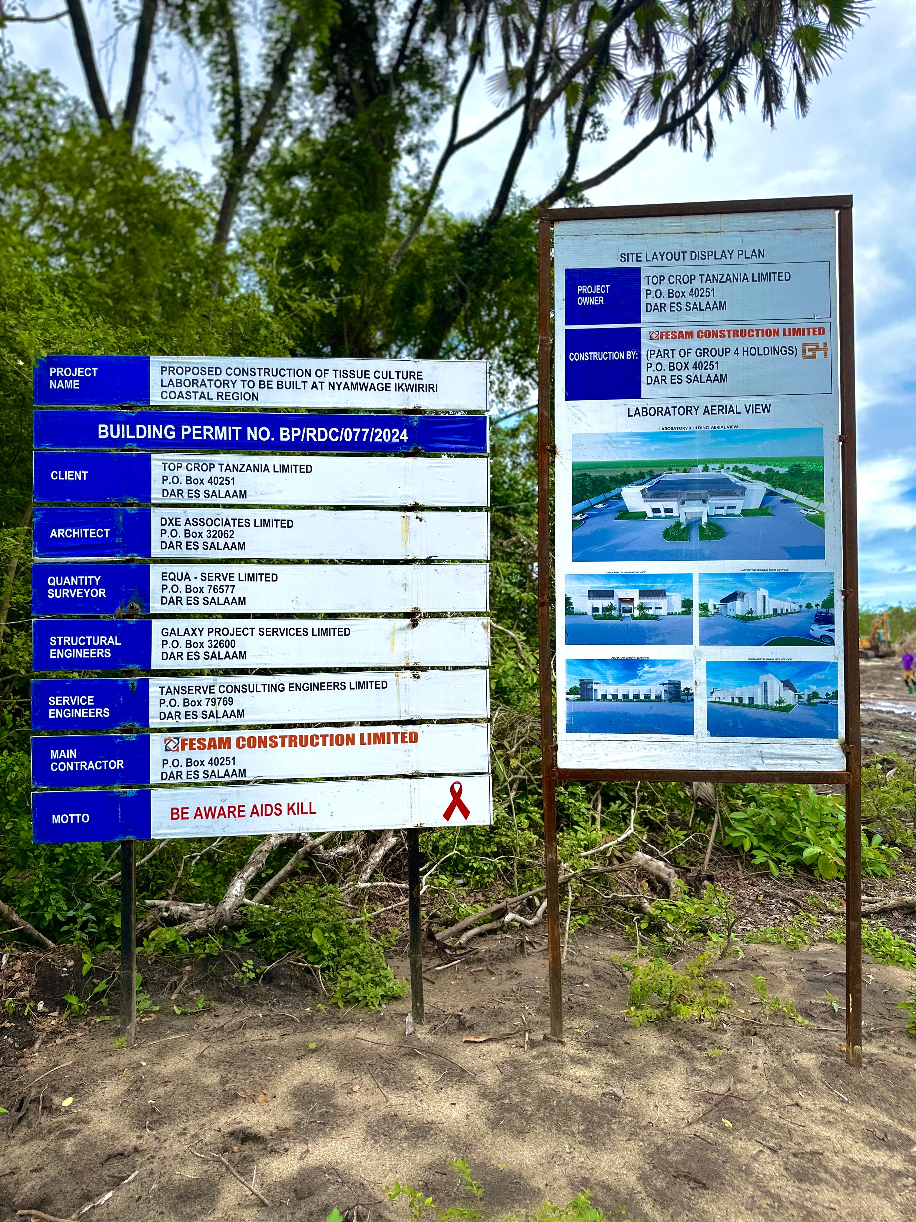
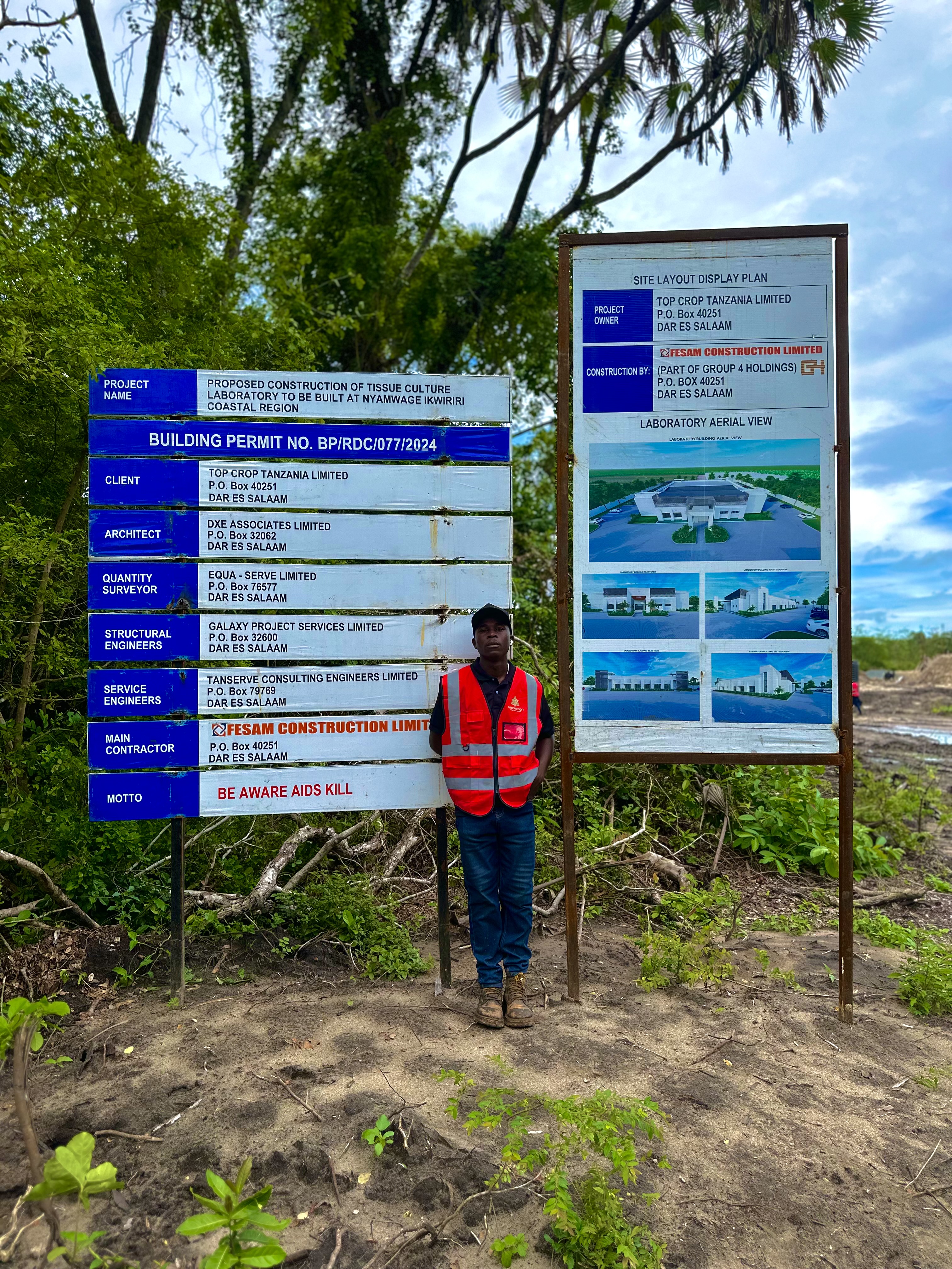
Site Surveying
LiDAR & Photogrammetry
We conduct high-precision pre-construction surveys using drone-mounted LiDAR and photogrammetry.
Key Outputs
- •Orthomosaic maps
- •Digital Surface Models (DSMs)
- •3D Point Clouds
- •Topographical and elevation data
These outputs streamline site evaluation, foundation planning, drainage design, and zoning applications by replacing traditional ground surveys with faster and more accurate aerial data.
Progress Monitoring
Documentation & Verification
We capture aerial views of your site at scheduled intervals to track construction progress from above.
Key Outputs
- •Project milestone verification
- •Client and stakeholder reporting
- •Quality control documentation
- •Delay identification and mitigation planning
Drone-based monitoring reduces guesswork, enhances team coordination, and improves communication across the project lifecycle.
3D Modeling & Aerial Mapping
For Design Teams
We convert aerial data into 3D visualizations and accurate surface models, allowing architects and engineers to:
Key Outputs
- •Validate real-world conditions against digital designs
- •Plan site logistics, material staging, and access roads
- •Visualize terrain constraints in design software
This improves decision-making and reduces the risk of rework due to planning blind spots.
Earthwork Planning
Volume Measurement
Our drones calculate cut-and-fill volumes for excavation and grading projects. By mapping elevation changes, we help engineers:
Key Outputs
- •Optimize earth movement operations
- •Estimate material needs and equipment costs
- •Track compliance with design specs
This data supports accurate billing and tighter budget control.
Safety Audits
Risk Identification
Drones provide a bird's-eye view of the entire site, helping managers:
Key Outputs
- •Spot unsafe practices or congestion
- •Monitor compliance zones
- •Identify hazardous terrain or equipment placement issues
By improving visibility, we help reduce on-site incidents and support OSHA compliance.
Marketing & Investor Presentations
Visual Content Creation
Our high-definition aerial photos and fly-through videos help showcase your project to:
Key Outputs
- •Investors
- •Regulators
- •Future tenants or buyers
- •Local communities
Use these visuals in brochures, presentations, digital campaigns, or investor pitch decks.
Why Drones Are Essential in Construction
Modern construction demands modern solutions. Drone technology provides the speed, accuracy, and insights needed to stay competitive in today's fast-paced industry.
Accelerated Workflows
Capture comprehensive site data in a fraction of the time compared to traditional methods.
Increased Accuracy
High-resolution mapping with centimeter-level precision for better planning and execution.
Lower Costs
Reduce surveying time, minimize rework, and decrease on-site labor dependency.
Smarter Planning
Make better design and logistics decisions early in the project lifecycle.
Greater Transparency
Keep all stakeholders updated with clear visual evidence of project status.
Reduced Risk
Monitor from above without interrupting fieldwork or putting personnel at risk.
Faster data collection compared to traditional methods
Average cost savings on surveying operations
Improvement in project planning accuracy
Client satisfaction with enhanced visual reporting
Our Clients Include
Trusted by construction professionals across Tanzania and East Africa to deliver reliable, high-quality drone services.
Construction Firms
From small local contractors to large multinational construction companies.
Architectural & Engineering Consultancies
Design professionals seeking accurate site data and visualization.
Real Estate Developers
Property developers managing multiple construction projects and developments.
Public Infrastructure Agencies
Government bodies overseeing infrastructure development and maintenance.
Project Management & EPC Firms
Companies managing complex construction projects from concept to completion.
"Merkavion's drone services have transformed how we manage and document our construction projects. The aerial data and 3D models have improved our planning accuracy by over 30% and helped us avoid costly rework."
Ibrahim Mwangoka
Chief Project Manager, Tanzanian Construction Ltd.
Recent Construction Projects
See how our drone solutions are transforming construction sites across Tanzania and East Africa.
Aerial Site Survey
Construction Progress
3D Model Preparation
Earthwork Analysis
Ready to Build with Confidence?
From the ground up, Merkavion's drone services keep your project efficient, compliant, and on track.