Command the Sky.
Who Are We?
Transforming industries with cutting-edge aerial technology and data intelligence
Revolutionizing Industries Through the Power of the Sky
Merkavion Technologies Limited is a forward-thinking drone and technology company based in Tanzania, committed to transforming how Africa's industries operate and grow. We deliver high-precision, data-powered solutions that empower businesses in agriculture, construction, mining, energy, environment, infrastructure, and security to make smarter and more sustainable decisions.
We are more than drone operators. We are strategic technology partners who integrate advanced UAV systems, LiDAR and photogrammetry mapping, thermal imaging, AI analytics, and GIS intelligence to unlock new levels of efficiency and insight.
Our goal is to bridge the gap between traditional fieldwork and modern technology. By helping organizations reduce operational costs, increase productivity, and improve safety, we create real-world impact where it matters most.
At Merkavion Technologies, we are not just building solutions. We are shaping the future of Africa's industries from the sky down.
Mission
Empower key sectors with intelligent, data-driven technologies that drive productivity and sustainability.
Vision
Leading provider of innovative technological solutions driving sustainable growth across Africa.
Values
Innovation, Integrity, Safety, Client-Centricity, and Sustainability.
What We Do
Discover how our advanced drone technologies can transform your industry with precision data collection, analysis, and actionable insights that drive efficiency and growth.
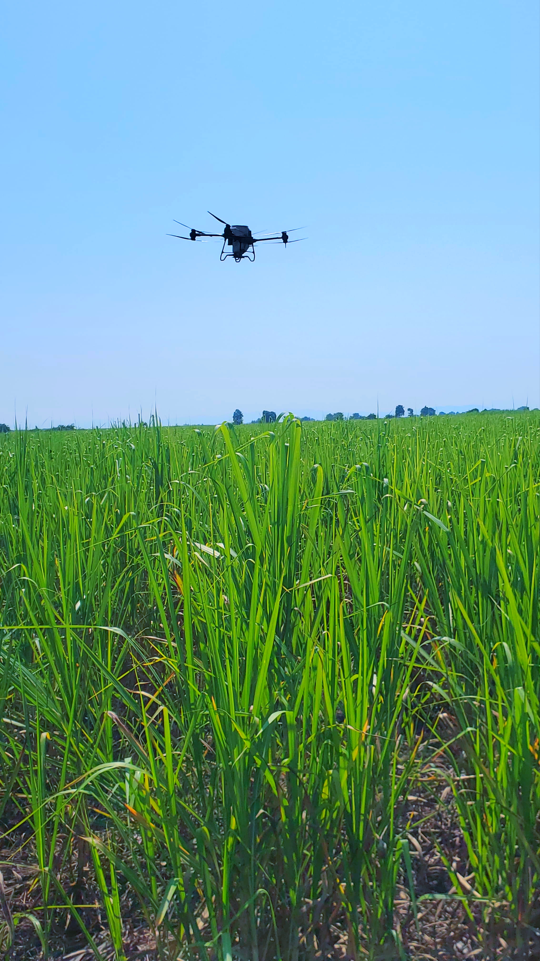
Precision Agriculture
Enhance crop management with aerial surveys, health monitoring, and targeted drone spraying solutions.

Construction & Infrastructure
Improve planning, monitoring, and inspection with comprehensive drone-based site surveys and 3D modeling.
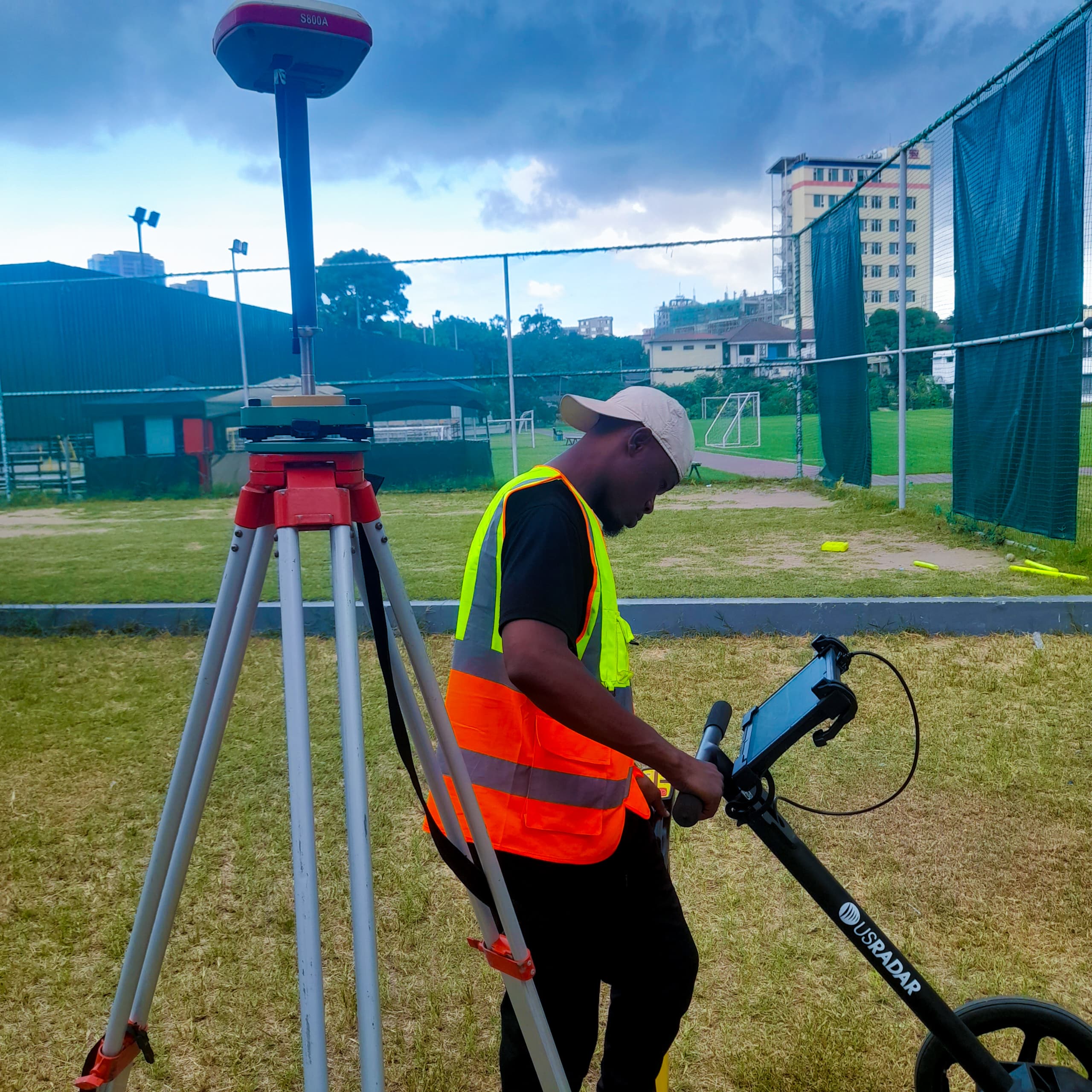
Mining & Resource Management
Optimize extraction operations and environmental compliance with high-resolution aerial data and volume calculations.
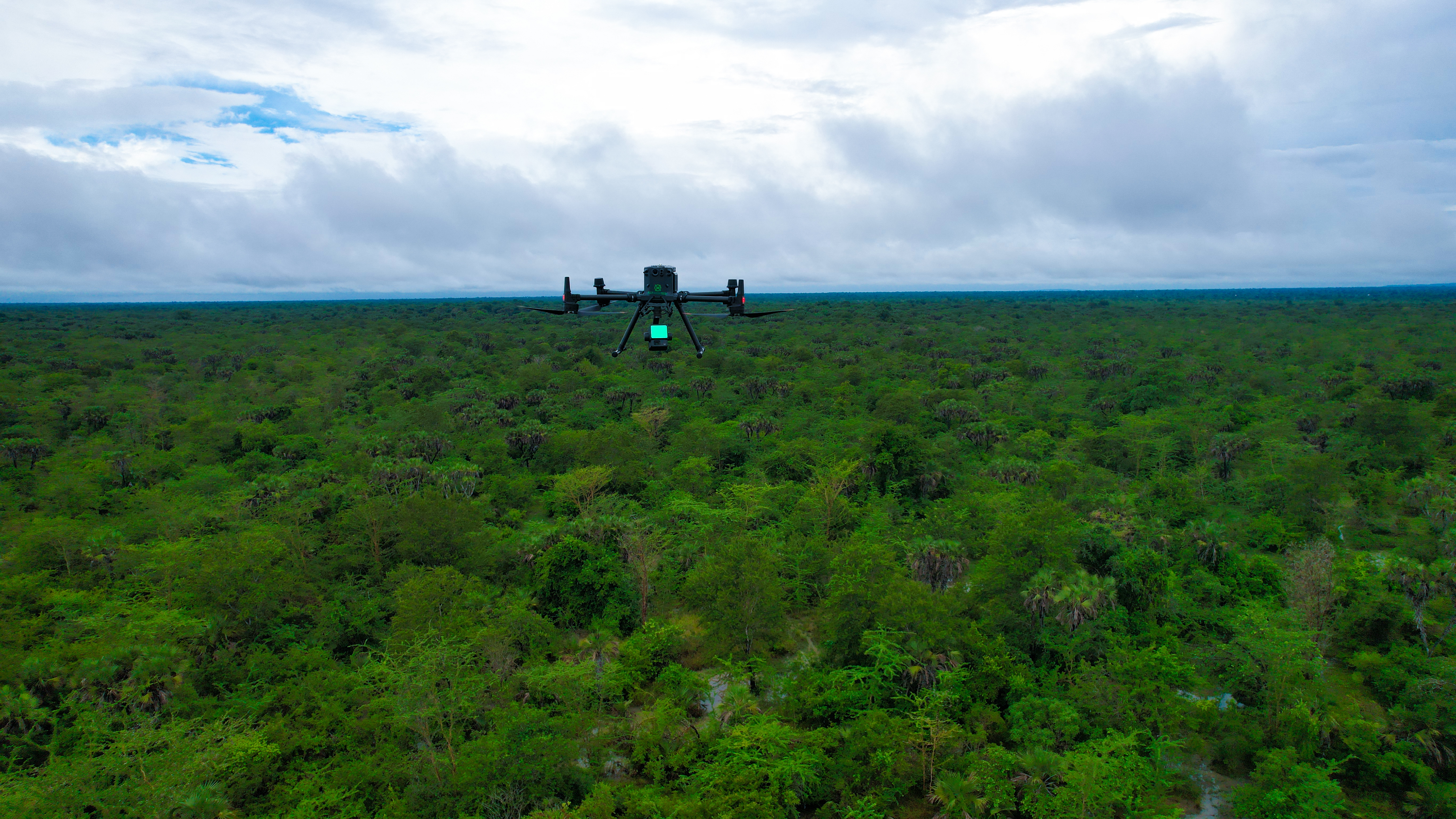
Environmental Monitoring
Track ecosystems, assess land use changes, and support conservation efforts with regular drone surveys.
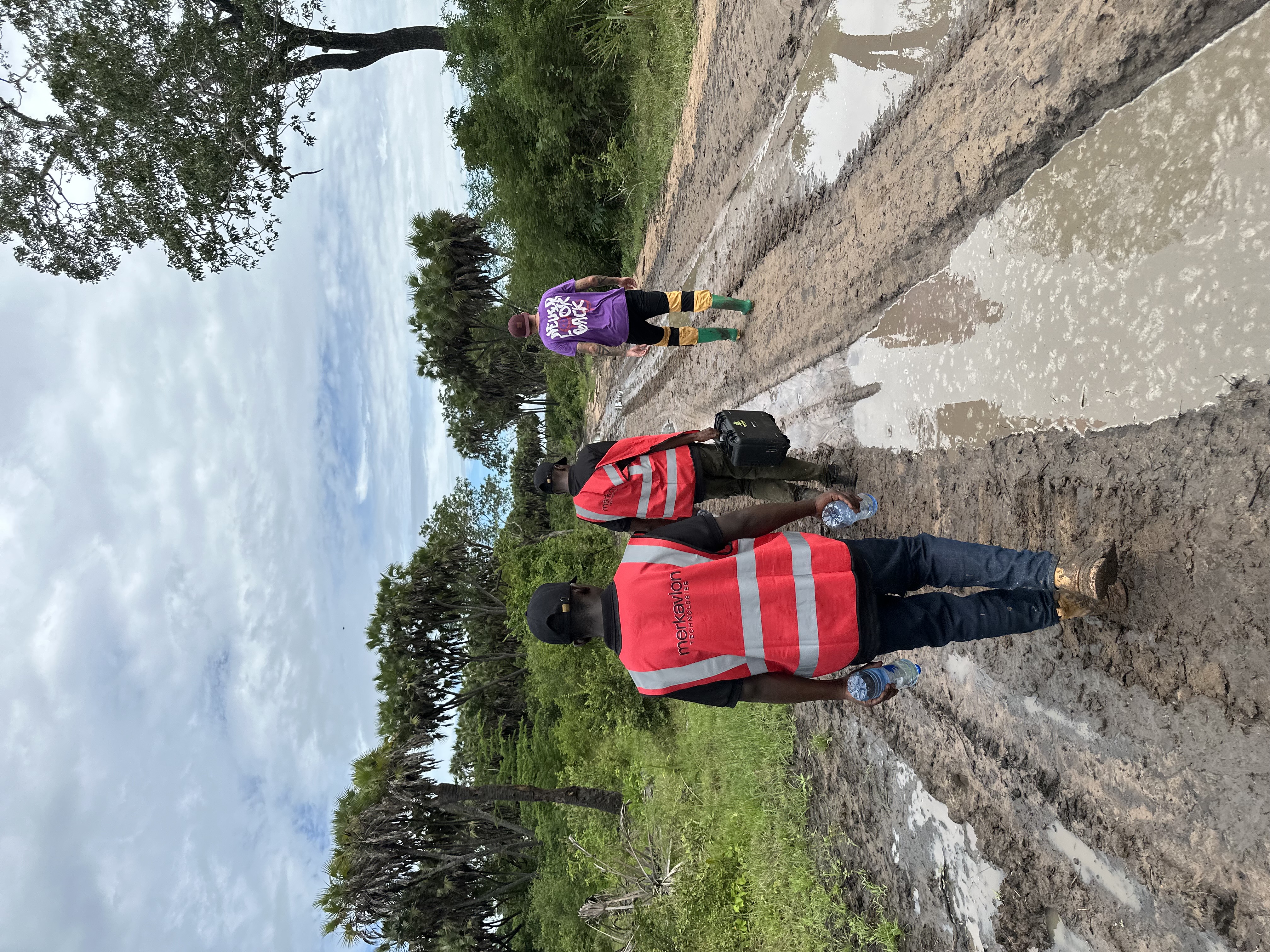
Surveying & Mapping
Create precise orthomosaics, elevation models, and topographic maps using advanced drone photogrammetry.
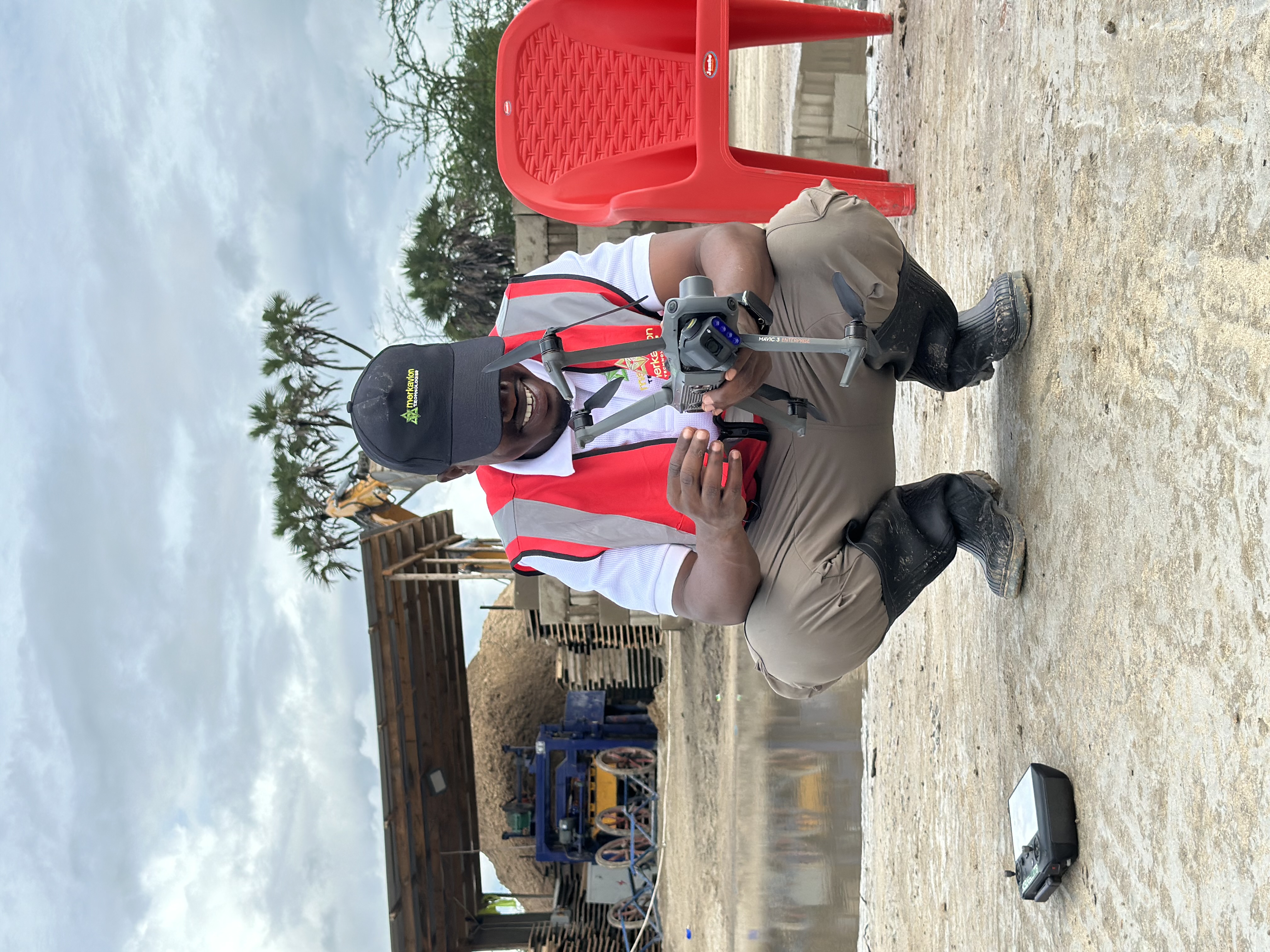
Security & Surveillance
Enhance perimeter monitoring, event security, and emergency response with tactical aerial capabilities.
Why Choose Merkavion
Our commitment to excellence and industry-specific expertise sets us apart in delivering unmatched aerial technology solutions.
Industry-Specific Expertise
Our specialists deeply understand agricultural, construction, mining, and environmental sectors.
Data-Driven Results
We deliver actionable insights through advanced analytics tailored to your business objectives.
Certified Excellence
Our pilots and analysts hold top industry certifications, ensuring professional standards.
Custom Solutions
We develop bespoke drone programs matched precisely to your operational requirements.
Regulatory Compliance
We navigate complex airspace regulations to keep your operations legal and compliant.
Collaborative Partnership
We work as an extension of your team, providing continuous support and knowledge transfer.
Hear From Our Satisfied Clients
Discover what our clients say about their experience working with Merkavion Technologies and how our drone solutions have made a difference.
Setting New Industry Standards
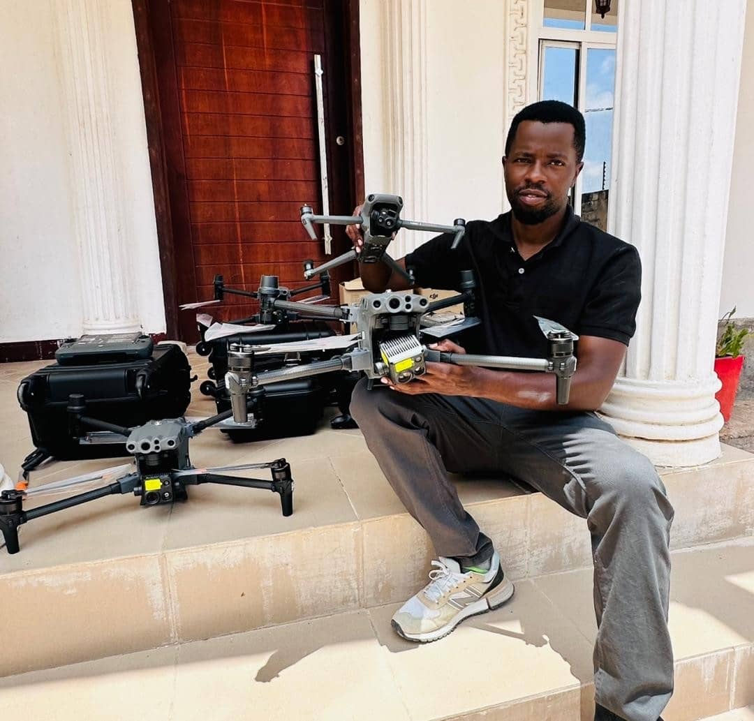
Our technology is recognized globally for pushing the boundaries of what's possible with drone technology.
Contact Us
We'd love to hear from you. Get in touch with our team.
Get in Touch
Our Location
Plot No. 114, Flamingo Street, IPTL-Sala Sala
Dar es Salaam, Tanzania
Call Us
+255 757 749 941
Email Us
Business Hours
Monday–Saturday, 8:00 AM – 5:00 PM EAT